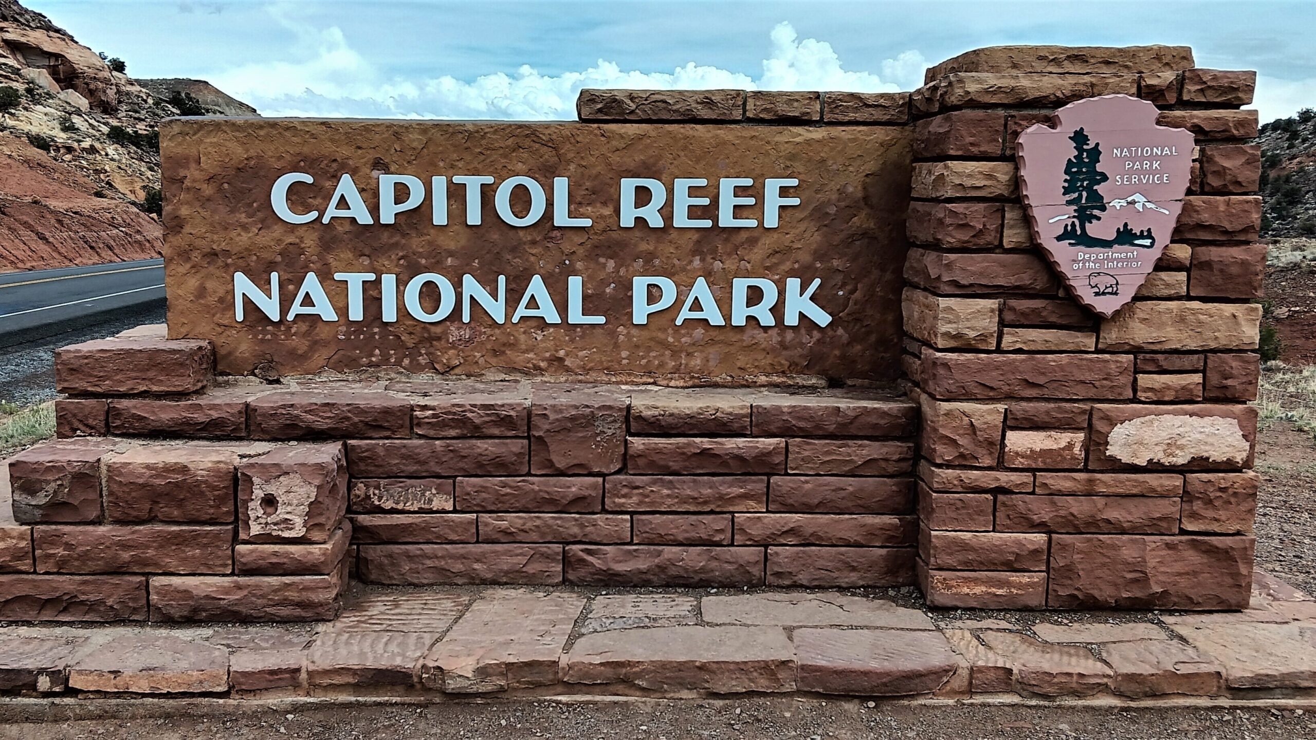
We arrived at Capitol Reef National Park, a little later than expected because the ride between Bryce and Capitol Reef on Scenic Route 12 was so beautiful, it slowed us down. I hope to find time to do a post on that ride, but for now, I’ll show you Capitol Reef.
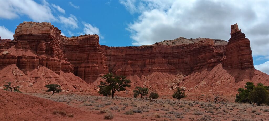
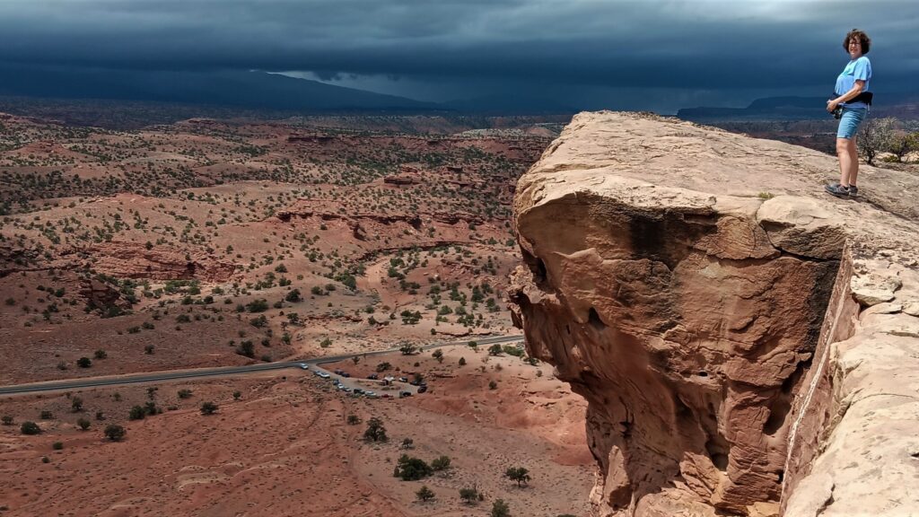
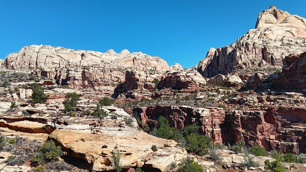
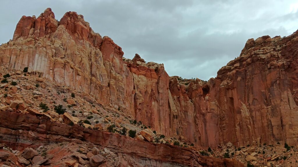
When we arrived at Capitol Reef, we could see that the weather was starting to look stormy but radar indicated that we still had time for a hike and that it might even be moving away from the park. We chose Chimney Rock Trail as our first hike. This is a 3.3 mile hike with some climbing. We could also see it without climbing, but what fun is that?
As we got closer to the Chimney Rock viewpoint we began to realize that the radar was wrong and maybe we shouldn’t do the whole trail. Raindrops were just starting when we got back to the car, and less than 20 minutes later, the storm hit with (large) pea sized hail!
We had hoped to do some more hiking later in the day, in particular, the Cassidy Arch Trail, which is probably the most popular hike in the park. We drove down the dirt access road to the trailhead. The road was washed out about 1/2 mile from the trailhead and we thought we would just walk the rest of the way, but just as we got out of the car, another storm was moving in. Needless to say, we tabled that hike for the d
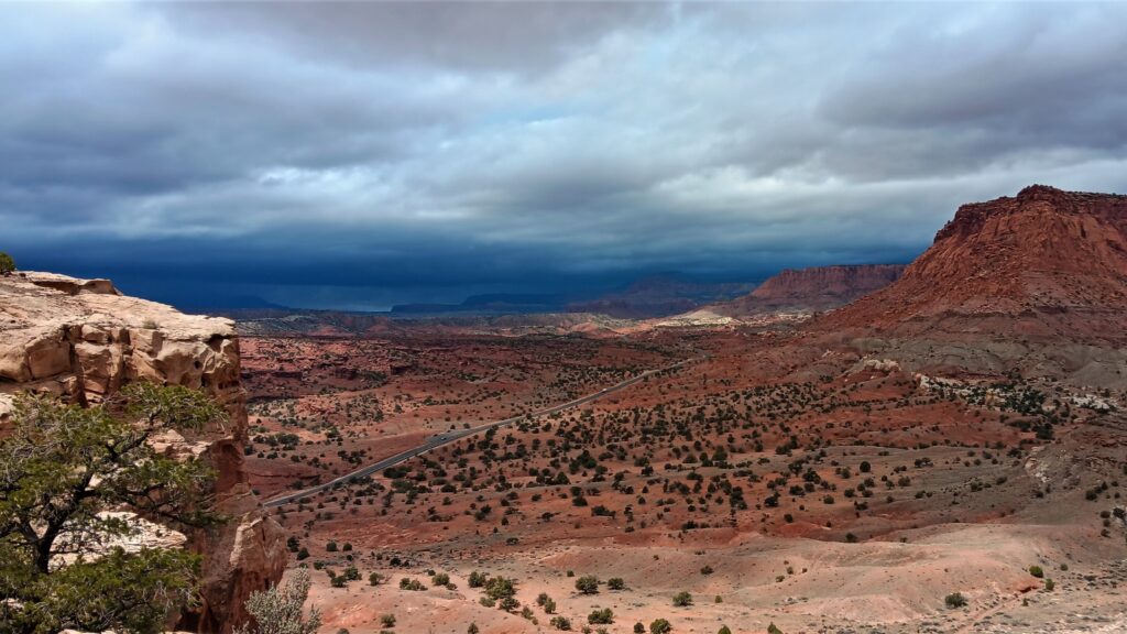
The rest of the day, we explored the park to the best of our ability in between the thunderstorms. We ended our day at Panorama Point, Gooseneck Point, and Sunset Point (all very close together). It was very relaxing just to hang out and enjoy the sun that had finally reappeared.
Unfortunately, the Cassidy Bridge Trail was not an option for our second day either, because the storms from the day before caused the access road to be closed.
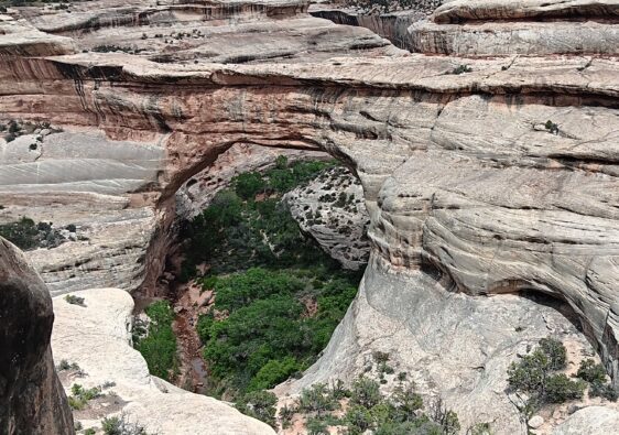
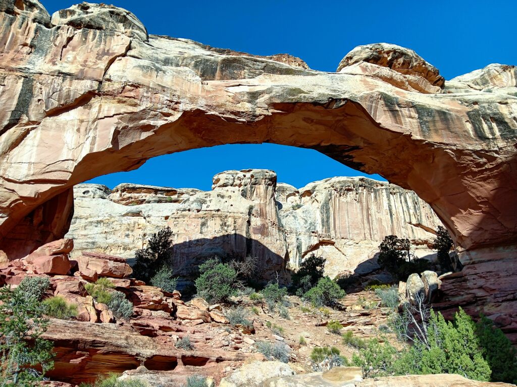
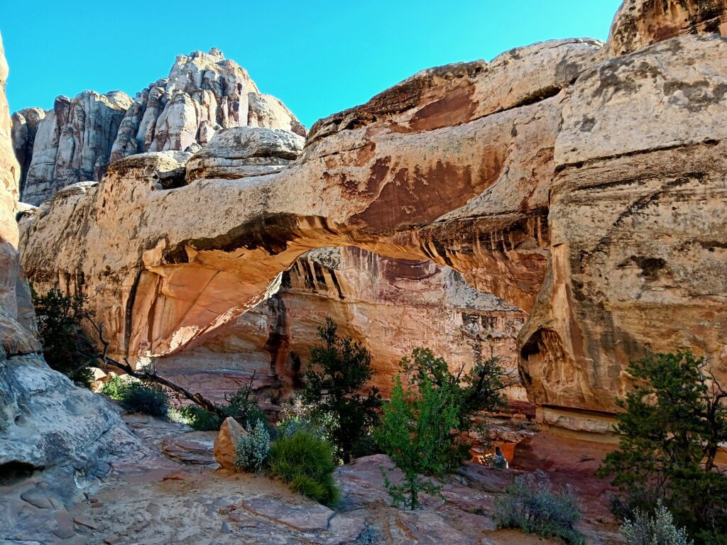
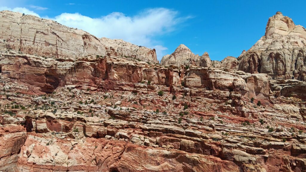
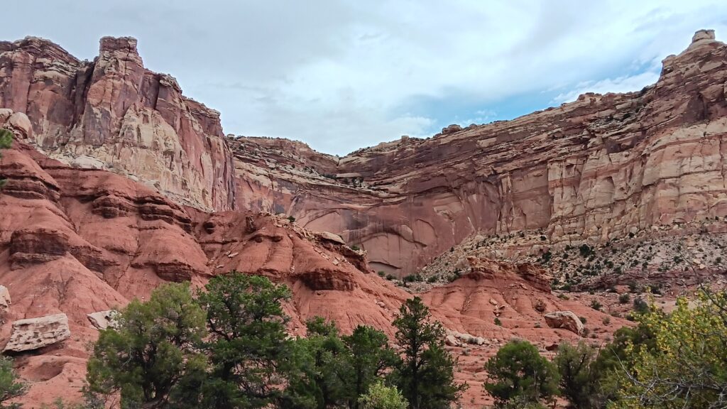
Since we knew storms were expected in the afternoon, we got up early and hiked the Hickman Bridge Trail, a 1.7 file mile out and back trail to a natural bridge. It was a nice hike and the bridge was beautiful, but we really wish we could have done the Cassidy Bridge Trail. If you get to Capitol Reef, this trail should definitely be on your agenda.
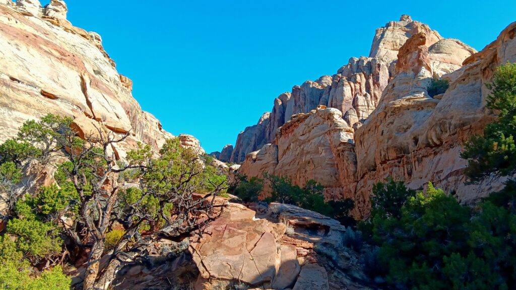
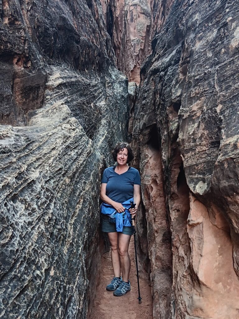
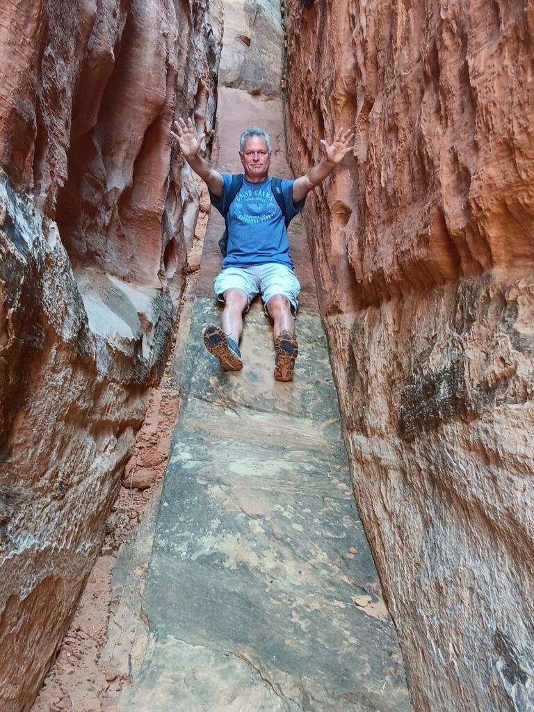
Our next hike was the Cohab Canyon Trail, a 3 mile out and back trail. There are three slot canyons on this trail which we checked out. I really liked the one with the slide! By the time we were done with this hike, we could see storm clouds gathering, but our hiking was done for the day.
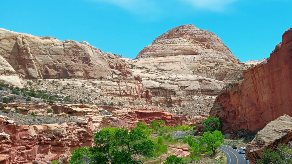
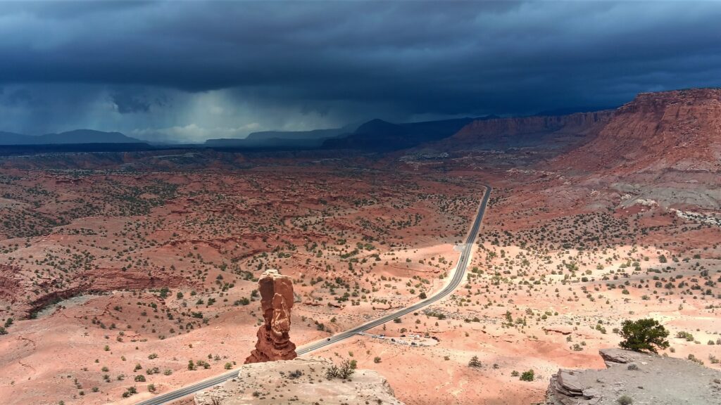
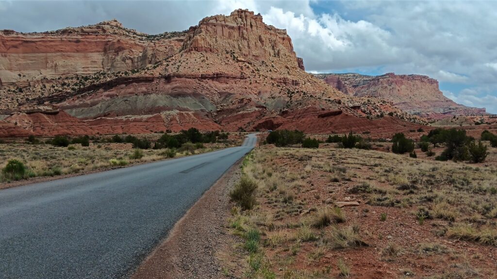
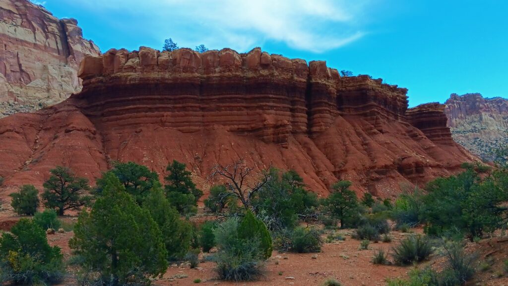
We took a break for lunch, then drove down the Scenic Drive. This road is about 8 miles long (16 out and back) and the scenery is worth the ride.
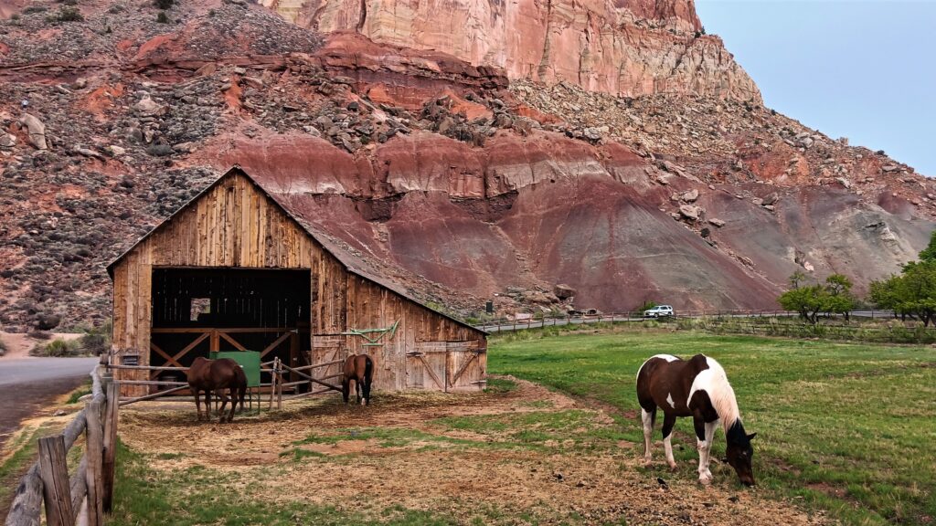
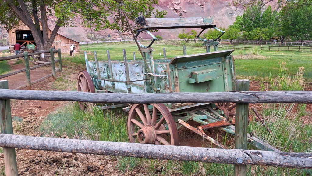
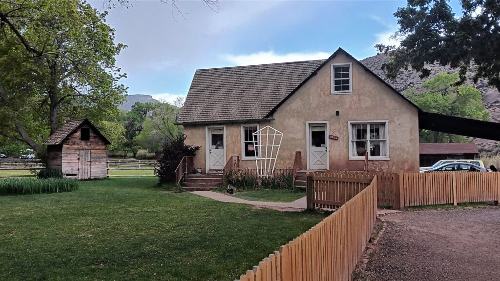
It includes the Fruita Historic District, which was a pioneer community of Latter Day Saints (Morman’s) in Capitol Reef. There were only about 10 families living here at any one time and they had orchards of cherry, apricot, peach, nectarine, pear, apple, plum, mulberry, quince, almond, pecan, and walnut trees and they sold the fruit to support the settlement. Many of these trees still survive and are protected and preserved by the park. Some buildings are also restored.
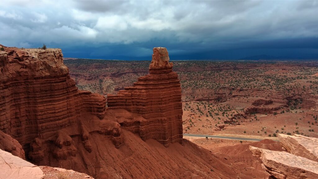
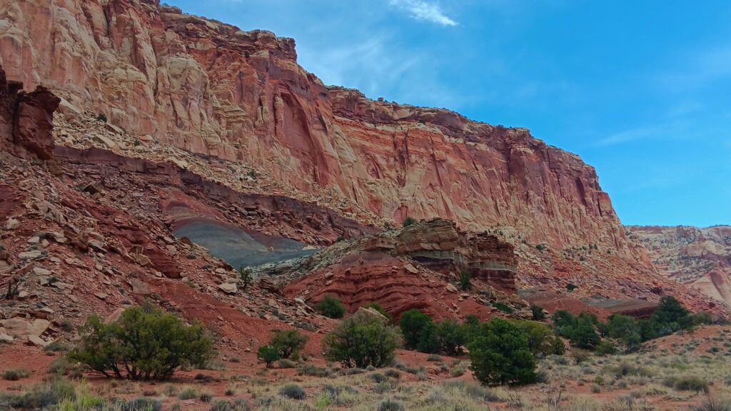
I had wondered why this park was called Capitol Reef. Maybe it had something to do with the green rocks? Or was it because some of the rocks looked like coral? The park ranger who answered by question said that it was because there was one large rock that looked like a capitol dome (you can probably pick that out in one of my pictures), and because the area was very difficult to get through in the past, so you had to go around it, kind of like you would sail around a reef. I agreed with the park ranger that they could have done better naming the park!
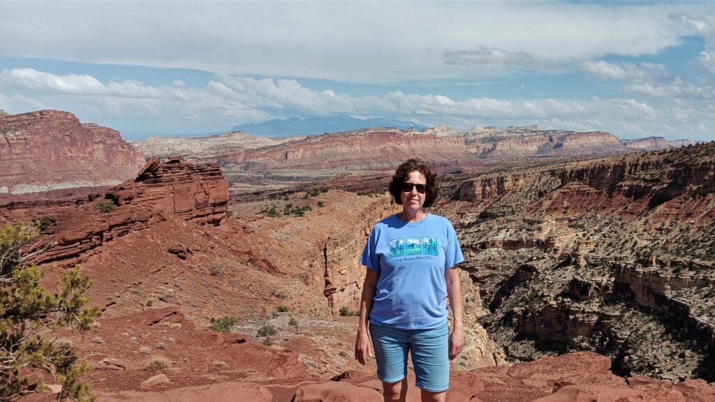
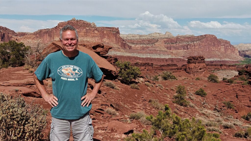
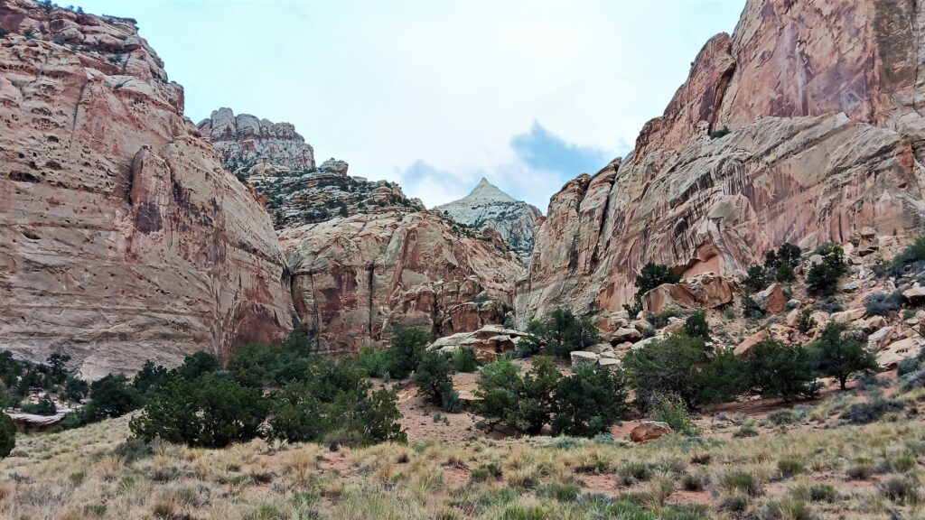
Regardless of the crazy name, this was a beautiful park and much less crowded than the other parks in Utah that we have visited so far.