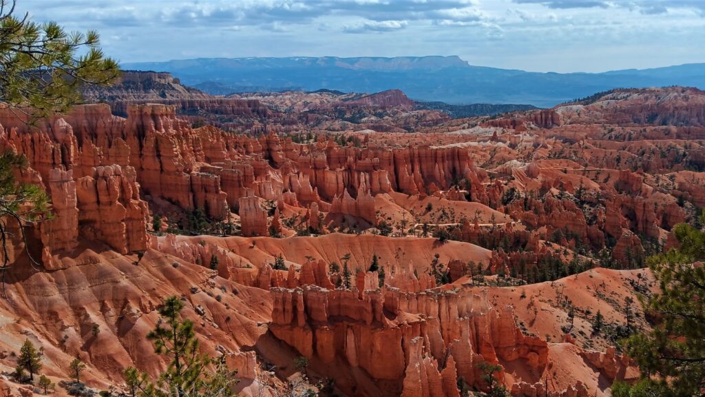
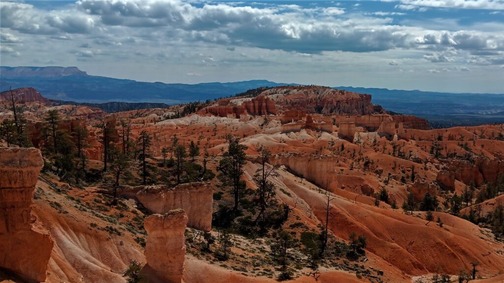
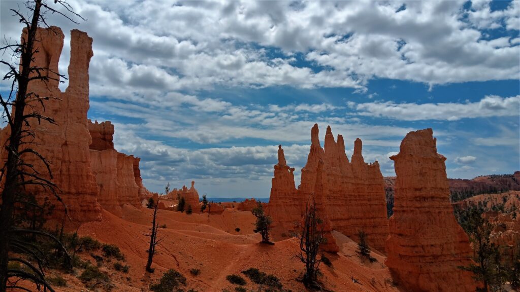
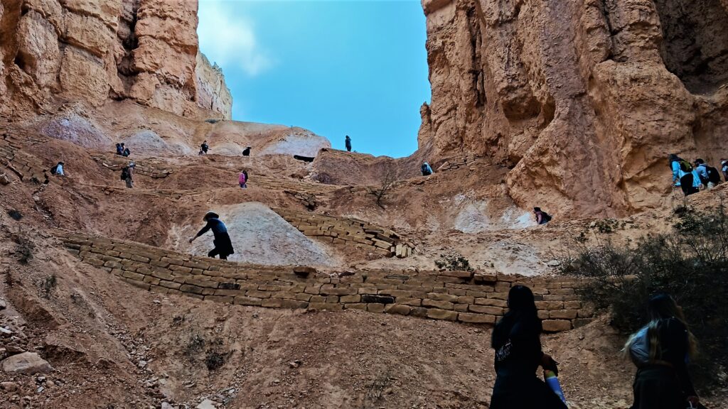
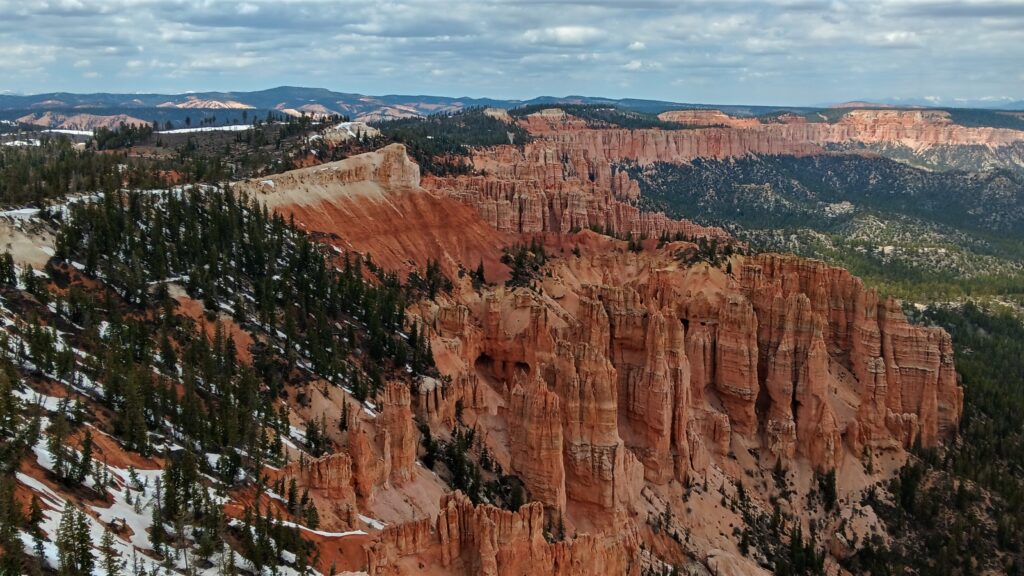
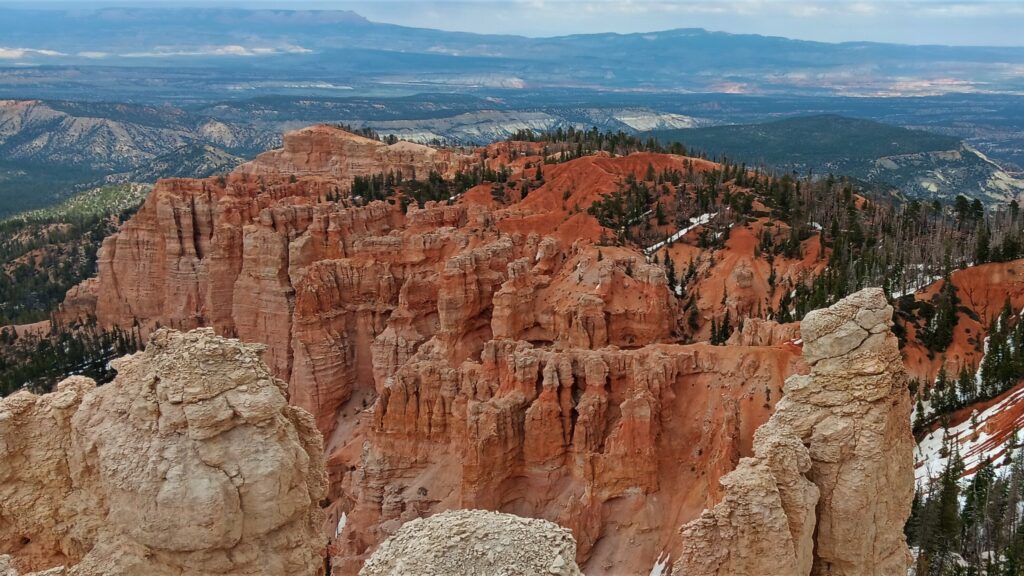
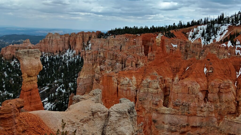
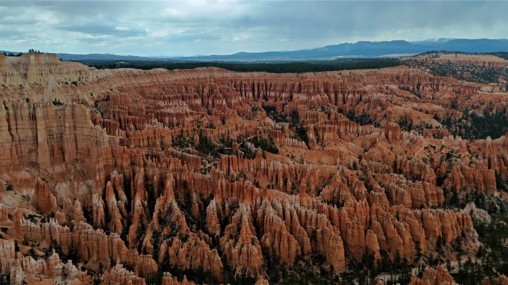
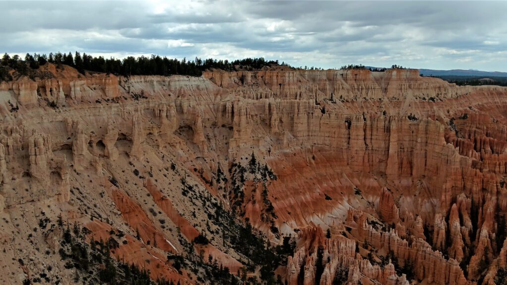
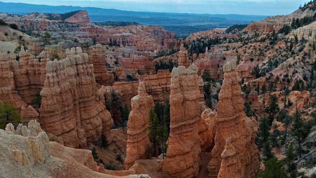
Bryce Canyon National Park is a Hoodoo Fairyland! When we got our first view of the Bryce Amphitheater, all we could think is that it looked like giant drip castles, except with colored sand. The Bryce Amphitheater has the greatest concentration of fantastical rock spires (called “hoodoos”) found anywhere on Earth.
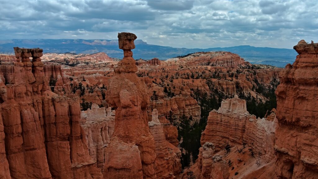
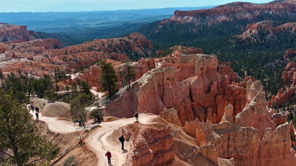
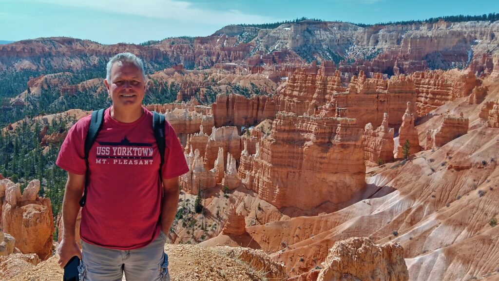
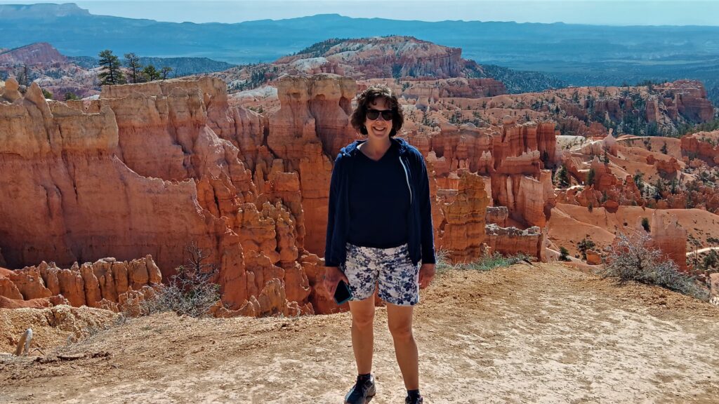
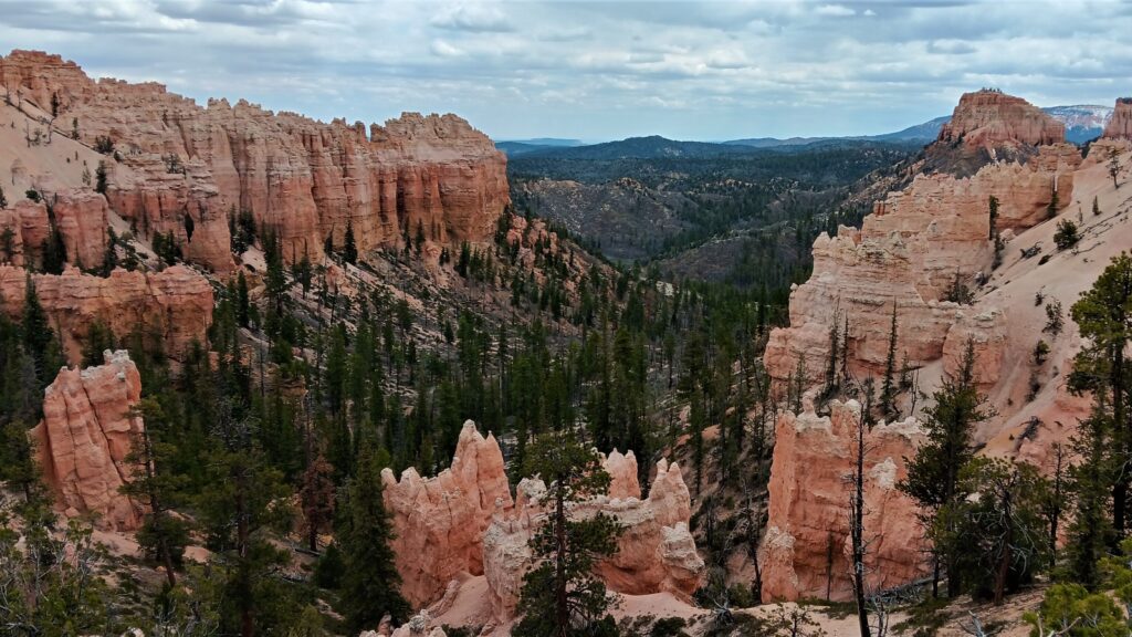
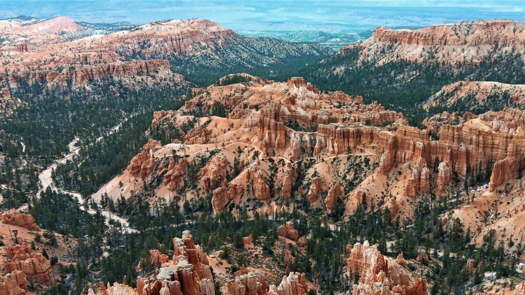
You can pick up the shuttle at the Bryce Canyon Visitor Center, but you also have the option of driving through the park. Since it was early in the season, we decided to take a chance so we drove to Sunset Point to do the Navajo Loop and Queens Garden Trail (3.1 miles). The trail loop travels from Sunset Point to Sunrise Point, then goes down into the Amphitheater. Walking around between the hoodoos was like walking on another planet! The trail down was easy, but the trail back up was pretty tough, ascending 650 feet in 0.6 miles via numerous switchbacks.
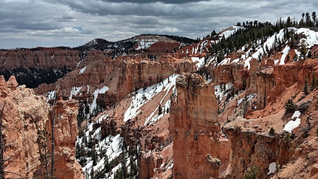
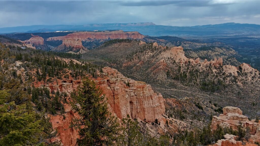
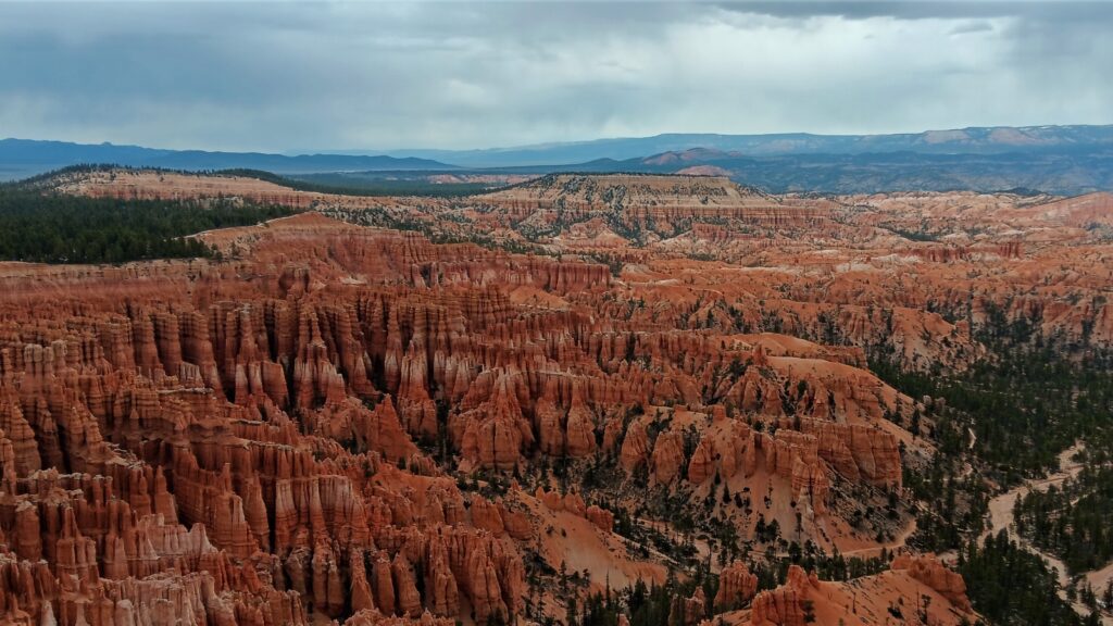
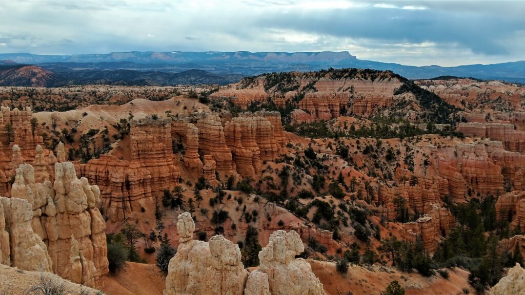
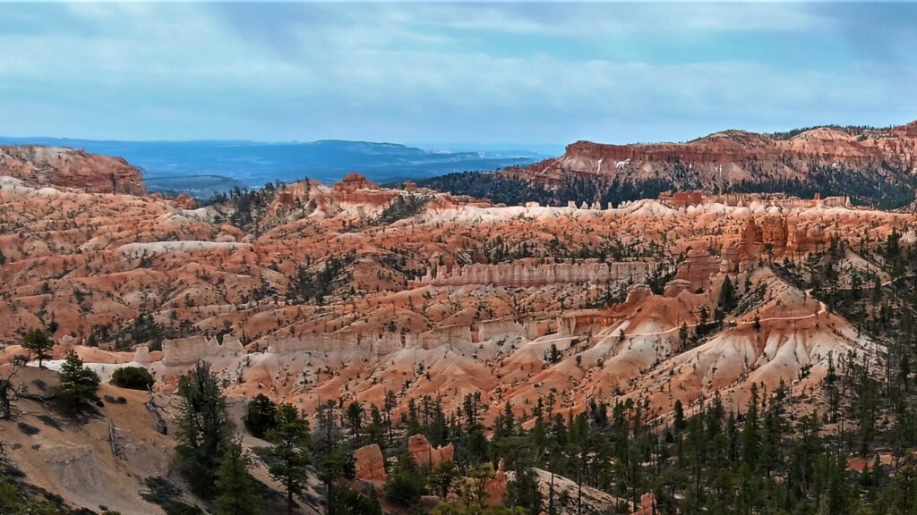
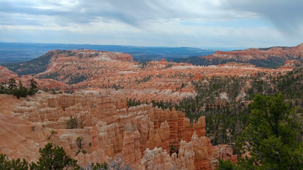
We drove the Southern Scenic Drive, which has 9 scenic overlooks over 18 miles and is not accessible by shuttle. They suggest driving to the end, then stopping on the way back so that the pull out is on the right and you don’t have to cross traffic. Below are some shots at each of the overlooks
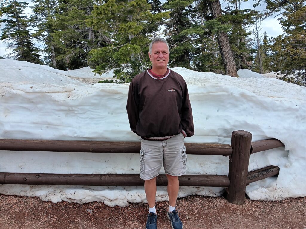
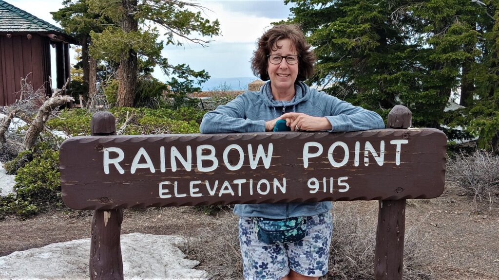
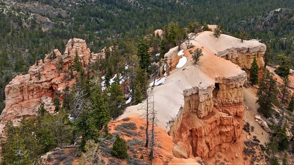
Rainbow Point and Yovimpa Point can be viewed from the same parking lot. There was a trail we were hoping to take, but as you can see, there was a lot of snow at this elevation (9115 feet). It was also a bit colder, down in the low 50’s. Not exactly shorts weather!
Our next stop was Black Birch Canyon, at an elevation of 8750 feet.
Ponderosa Canyon is at an elevation of 8904 feet.
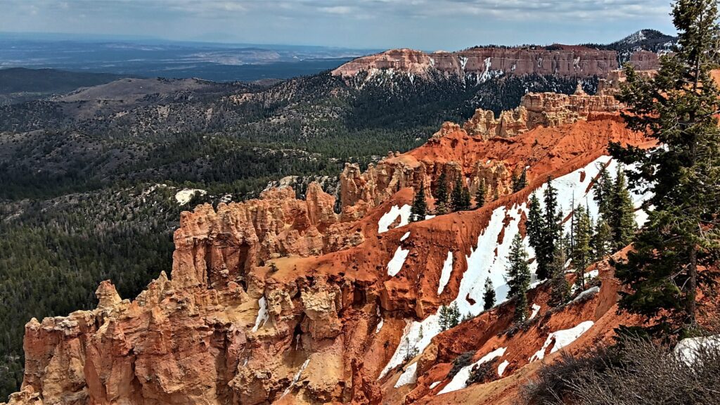
Agua Canyon is at an elevation of 8800 feet.
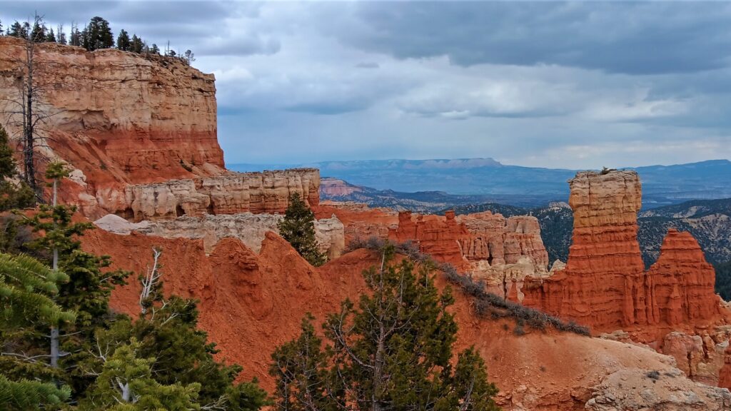
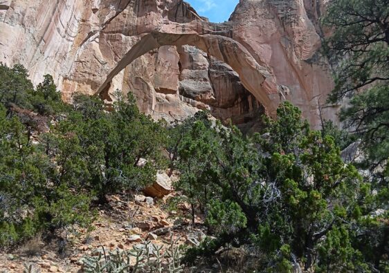
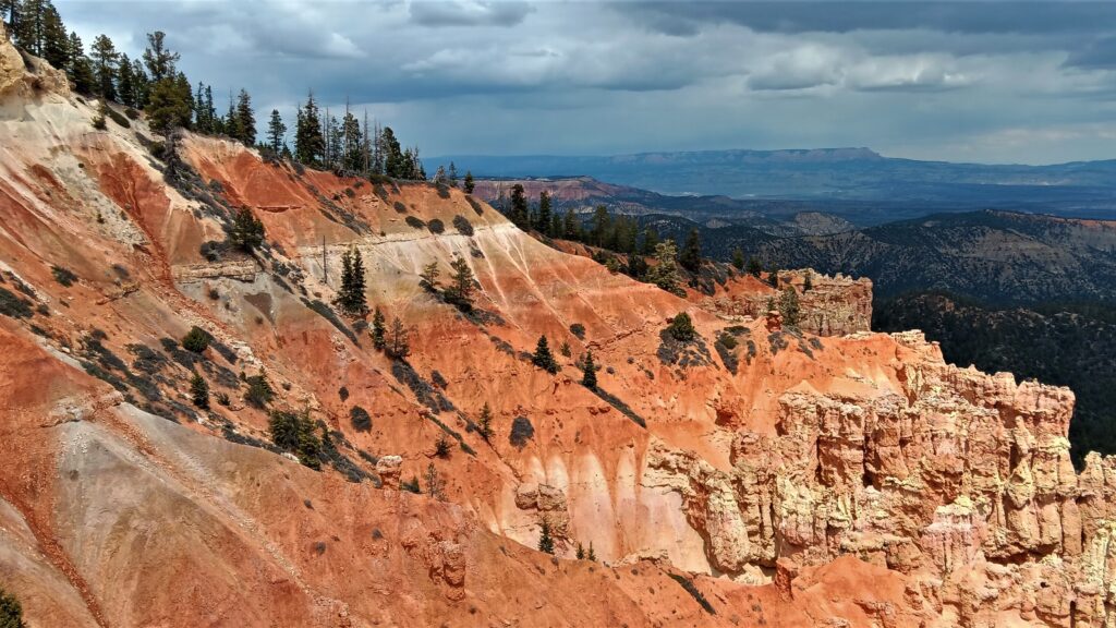
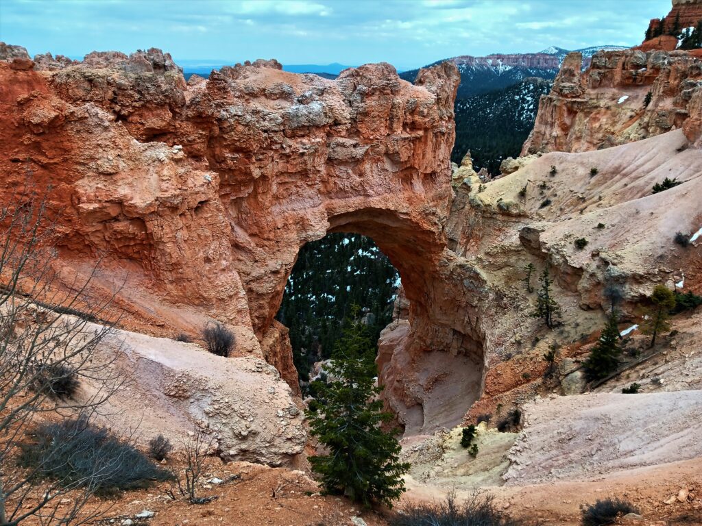
The Natural Bridge, at an elevation of 8627 feet, was interesting, and we suspect that it will eventually collapse given the erosion we could see on the right side.
Farview Point and Piracy Point were at the same parking area and were at an elevation of 8819 feet. Somehow we were going up again!

Swamp Canyon is a sheltered canyon with one of the wettest environments in the park.
The most popular viewpoints are on the shuttle route, not the scenic route, but can also be driven.
Paria View is at an elevation of 8175 feet.

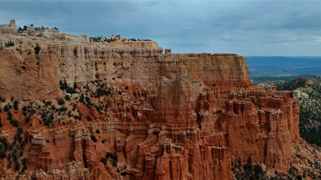
Bryce Point is at an elevation of 8300 feet. I can see why this one would be very popular. The view was simply amazing.
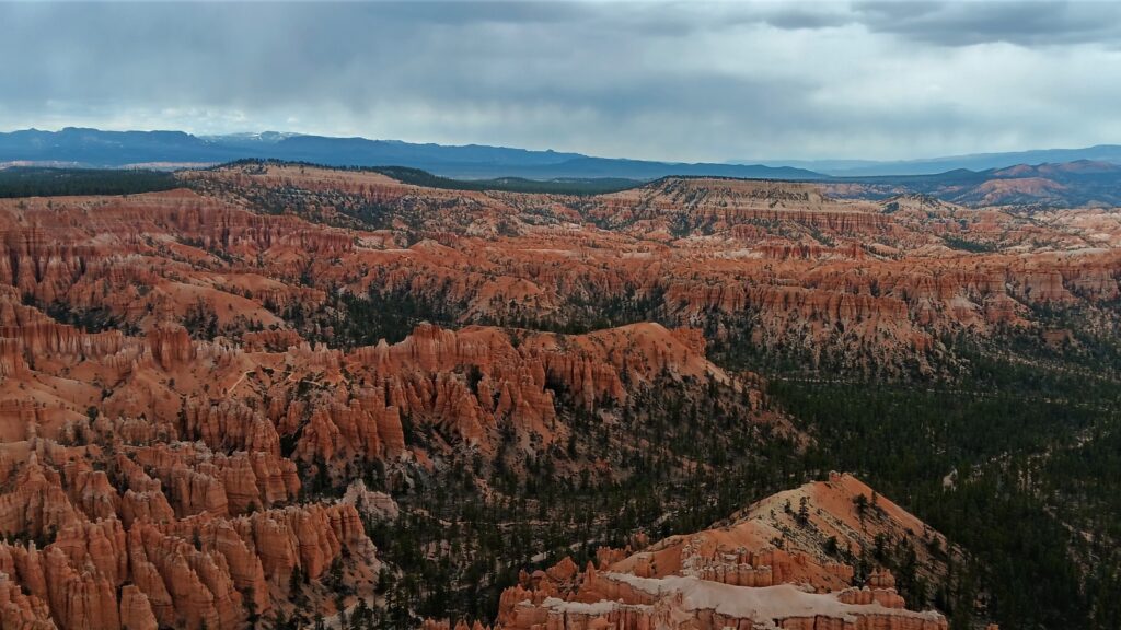
Lastly, there is Inspiration Point, at an elevation of 8100 feet, and it definitely inspire you.
On our second day, we felt that we had seen pretty much everything in Bryce, except Fairyland Point, which is located before the park gate. This is also the trailhead for one of the more popular trails in the park for experienced hikers, but at almost 8 miles and 1550 feet of elevation gain during the hike, it was beyond my abilities. We did hike a small section and enjoyed the view of this amazing Fairyland of drip castle hoodoos.
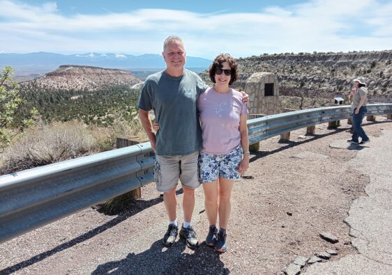
We left Bryce to travel to Canyonlands, traveling along the Scenic Byway 12.